FAQ, Articles, and Posts About Geophysical Services
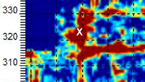
Locating Deep Facilities Using ERI, EM, MASW, pulseEKKO Ultra GPR, and Magnetometers for Buried Cables Voids Pipes
Introduction to Locating Deep Facilities In the field of geophysics, well established instruments are used to detect and map underground ...
Geophysics for voids under buildings, floors, foundations, parking lots, and factories
Use geophyics (GPR, MASW, EM, ERI, magnetometers, and line locators) Geophysics can assist with characterizing voids and unstable soil conditions ...
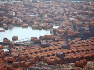
Geophysical Services Conducted. A Short List of Clients, Landfills, Government Sites, and Locations.
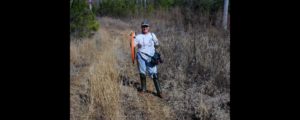
Who uses Geophysical Services LLC Geophysical Services LLC travels throughout the United States (mines, landfill, industrial sites, etc.) providing personal ...

Chart Comparing 57 Geophysical Methods With 17 Applications and Disciplines
Chart of who is using geophysical methods and for what This chart is based on over thirty years of experience ...
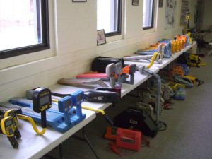
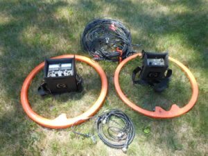
Less Common Near Surface Geophysical Equipment
Less Common Near Surface Geophysical Equipment The title “Less Common Near Surface Geophysical Equipment” is the shortest version of what ...
NAICS and SIC Codes for Geophysical Surveying and Mapping Services
NAICS Code 541360 Geophysical Surveying and Mapping Services, primary code. Industry sectors NAICS and SIC Codes for Professional, Scientific, and ...
Geophysics and Geophysical Services From Archives and Old Posts
Questions and answers about geophysical services from 35 select archives Geophysics is not for everyone and is project dependent. Over ...